Gisarte's exceptional work has gained recognition and has been awarded at the national and international level. Due to its commitment to biodiversity assessment, environmental concerns, and the advancement of sustainable practices and eco-friendly solutions, Gisarte has received the Quarry Life Award in the Nature-Based Solutions category and was a finalist in the Iberdrola Biok Challenge, highlighting its innovative approach.
AWARDS AND RECOGNITION
The Quarry Life Award 2022
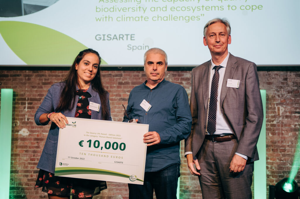
Heidelberg Materials and more than 100 guests celebrated the seven winning teams of the fifth edition of the Quarry Life Award in Brussels. Building on the award, Heidelberg Materials develops best practices for quarry management which are then applied on a global scale, amongst others supporting the company’s contribution to the EU restoration agenda.
GISARTE received the Nature Based Solutions Award for assessing the capacity of quarry biodiversity and ecosystems to cope with climate challenges.
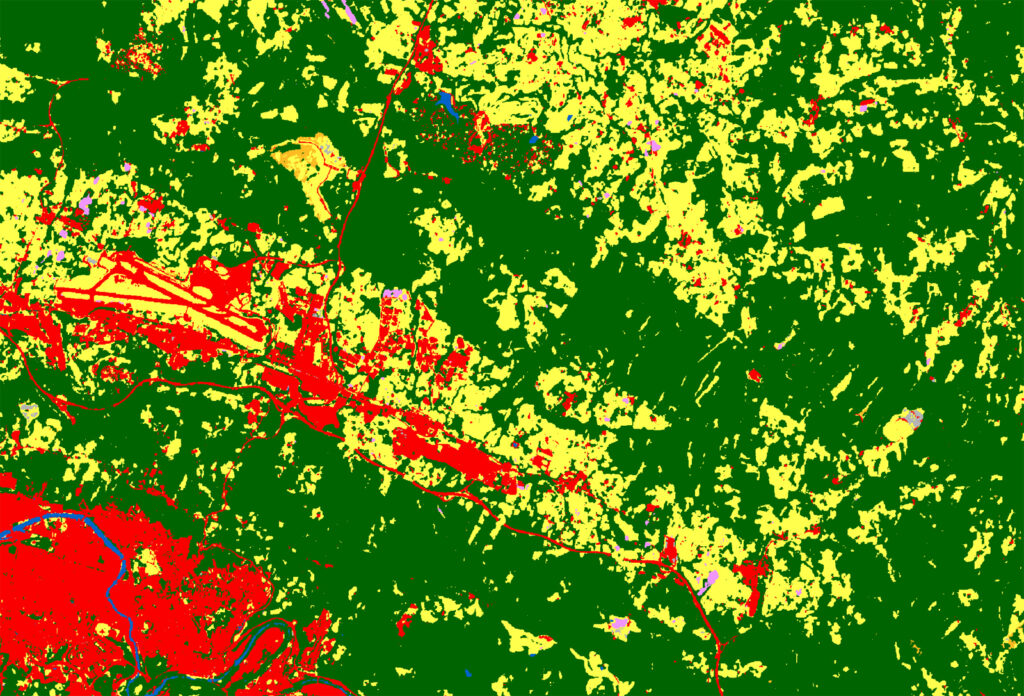
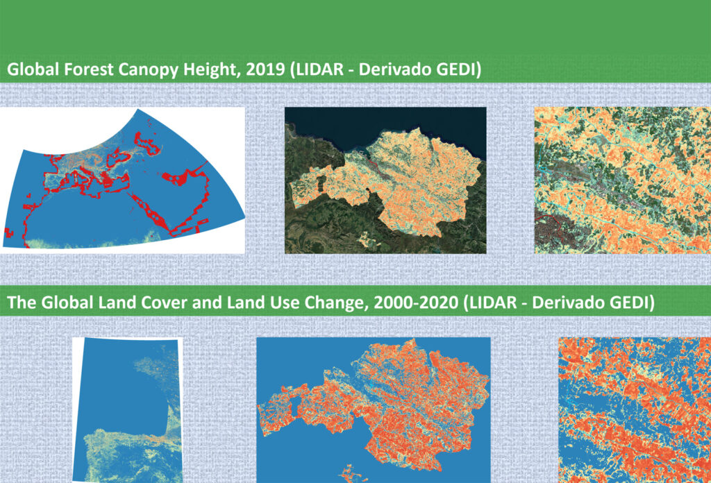
The jury appreciated the design of strategies for the conservation of areas of high biodiversity value, as well as the reduction of temperature at the local level and the proposal to increase CO2 sequestration by increasing organic carbon in soils. It also highlighted the communication strategy employed, with the massive use of graphics and maps.
BIOK-IBERDROLA
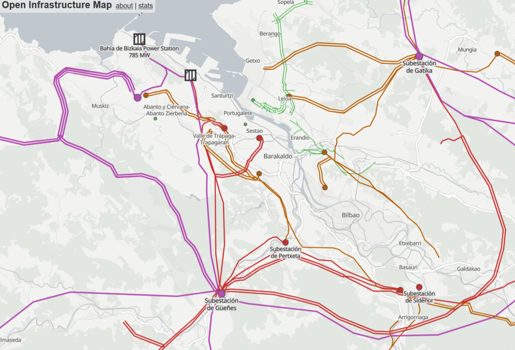
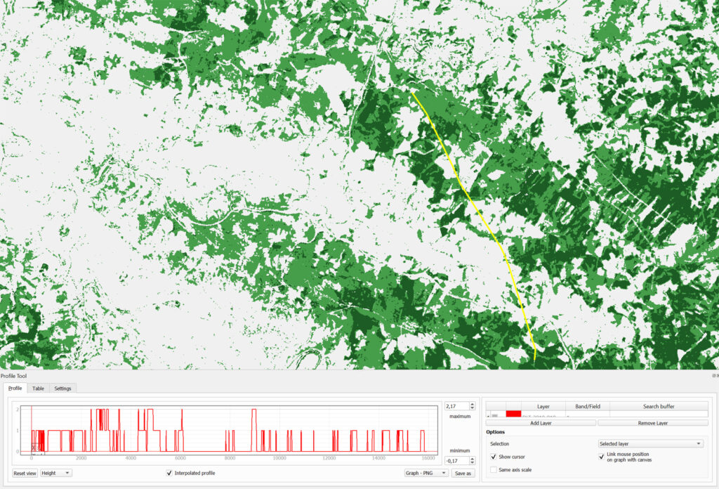
The proposal presented by GISARTE, Monitoring and early warning system for risks in power lines derived from climate change, was a finalist in the challenge launched by BEAZ in collaboration with Global Smart Grids Innovation Hubs from Iberdrola. BiOK!
This is a meeting place that promotes generation of new business opportunities offered by BEAZ (an entity of the Department of Economic Promotion of the County Council of Bizkaia) the objective of which is double:
- To consolidate the competitive positioning of reference companies in Bizkaia, providing them access to local and international talent and skills.
- To attract startups, SMEs, or other kinds of kinds of organisations with high skills, either technological and/or in specific fields of knowledge, to Bizkaia, and to boost and provide them a first market option.
WORK AREAS
All our activity is based on free and open source tools, so that the entities that collaborate with GISARTE do not have to worry about additional costs in licenses that may limit their later use.
- Agroclimatic studies using remote sensing, GIS and data visualization tools.
- Food security and sustainable food systems.
- Local scale carbon sink mapping.
- Land use and management.
- Resilient food systems, agroecology, food sovereignty and peasant agriculture.
- Market studies, value chain analysis, income-generating activities, SMEs and cooperatives.
- M4P approach.
- Identification, design, formulation and management of multisectoral projects.
- Analysis of technical and economic proposals in the field of development cooperation.
- Development of methodological proposals for impact assessment and establishment of corrective and compensatory measures.
- Systematization and capitalization of experiences.
- Creation, establishment and management of monitoring and evaluation systems.
- Use of mobile technologies for data collection.
- Design of training in Geographic Information Systems, both general and focused on specific sectors of activity (land use planning, forestry management, routes, location of services, natural risks, etc.).
- Introduction to remote sensing. We rely on resources provided mainly by NASA and ESA to access satellite information covering both natural aspects of land, sea and atmosphere as well as socio-economic elements.
- Beyond Excel and PowerPoint. Use of interactive and dynamic data analysis and visualisation tools.
- Integration of satellite and GIS technology with agricultural production, risk prevention and forestry management.
RESOURCES AND TOOLS USED
Although at Gisarte we have experience working with all kinds of data analysis and visualization tools, business intelligence, GIS and remote sensing, we prefer to use free and open access resources.
Data Sources
Our data sources are freely available information from national, international and multilateral agents, both public and private. Geographic and satellite data are of special relevance for Gisarte, as they allow us to have accurate and constantly updated agro-climatic information.
Geographic data: We access this type of data which is mainly found in public repositories of geographic information.
Satellite information: Our main source of satellite information are NASA and ESA, through their various portals, provide access to images from the Landsat series and the Sentinel constellation or MODIS or VIIRS products.
Free and open access tools

The R Project
It is an environment and programming language with a focus on statistical analysis, which facilitates the dynamic visualization of data and allows to enhance the work of GIS and remote sensing.
