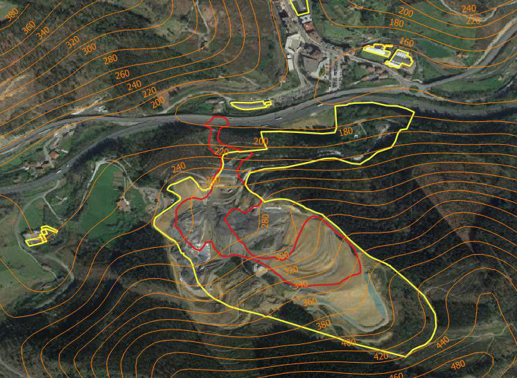
In February 2020, the Zaldibar waste dump collapsed. The Coperncius Emergency Management Service issued an alert that allowed Gisarte to define the affected area.
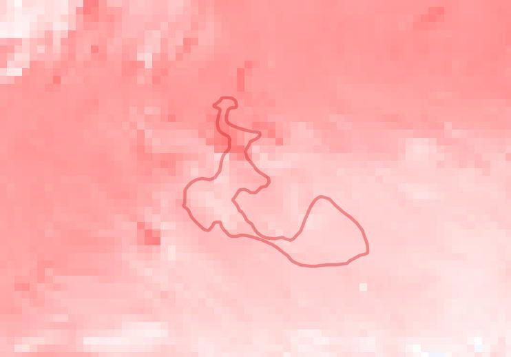
It was subsequently possible to map the magnitude of this landslide using synthetic aperture radar (SAR) images provided by Sentinel 1. For this purpose, an InSAR analysis was performed with an image before and after the event.